From the Biberacher Hütte follow the hiking trail to the water reservoir. Pass it on the left and ascent through a basin. Later keep right and follow a small wind gap until you see the face.. Now turn left through rocky terrain to the ridge that connects the Schöneberg with the Glattjöchlspitze. 45 minutes.
Did you know?
Did you know that you can create an account to record, track and share your climbing ascents? Thousands of climbers are already doing this.
Selected Guidebooks more Hide
Author(s): A. Pasold
Date: 2021
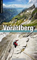
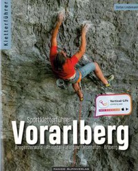
Der Kletterführer Vorarlberg beinhaltet gleich fünf Gebirgsgruppen: die Bregenzerwaldberge, das Lechquellengebirge sowie Teile von Rätikon, Silvretta und Verwall.
ⓘ
Accommodations nearby more Hide
Share this
Fri 2 Jun
Check out what is happening in Schöneberg.
Get a detailed insight with a timeline showing
- Ticks by climbers like you
- Discussions of the community
- Updates to the index by our users
- and many more things.
Login to see the timeline!


