Seasonality
Summary
Granite
Igneous Volcanic
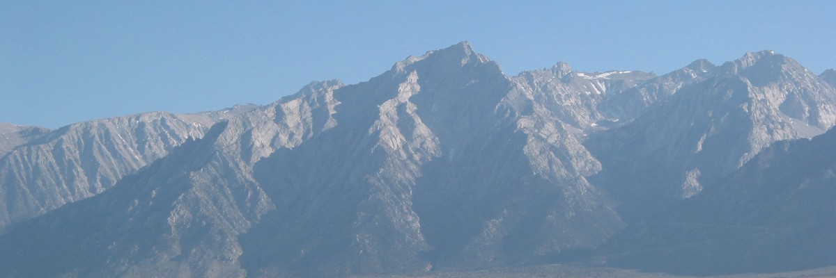
A huge and picturesque mountain visible for miles along hwy 395, Lone Pine Peak has at times been mistaken for Mt Whitney (which it screens, especially when coming from the south).
Description
Although the North Ridge is by far the most popular route on the mountain, all three ridges offer excellent alpine adventures. All three ridges have also received winter ascents, although they become far more serious undertakings in winter conditions. The south face also hosts one of the largest single cliff faces in the Sierra Nevada.
Because of its favourable position looming over the Alabama Hills, Lone Pine Peak appears often in popular culture, from numerous advertisements to famous landscape photos (including the default background for macOS Sierra).
From the summit, the regular descent is directly off the back (approximately towards Mt Mallory), across the broad sandy summit plateau, and then as the ridge starts to narrow, keep a lookout for cairns on the right (northern) side of the ridge. These traverse the top of the north-facing slope and eventually head down the second gully (the first ends up in hanging cliffs - be especially careful if descending at night), which involves descending a long boulder / scree field towards Grass Lake. Near Grass Lake join the obvious Meysan Lakes trail back to Whitney Portal (the hike is 2-3 hours from this point).
Access issues
Wilderness permits (available from the Mt Whitney Ranger Station in Lone Pine) are required for any/all overnight stays.
Tags
Plan your Trip
Hello!
First time here?
theCrag.com is a free guide for rock climbing areas all over the world, collaboratively edited by keen rock climbers, boulderers and other nice folks.You can log all your routes, connect and chat with other climbers and much more...» go exploring, » learn more or » ask us a question


Selected Guidebooks more Hide
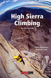
Author(s): Chris McNamara and McKenzie Long
Date: 2013
ISBN: 9780983322535
- SuperTopo:
- Planning to scramble up the 5.7 east face of Mount Whitney or ascend the epic, 18-pitch Sun Ribbon Arete? High Sierra Climbing helps you stay on course and spend maximum time enjoying the climb.
- 2nd edition includes 40 of the best High Sierra alpine climbs, ranging in difficulty from Class 3 to 5.11c
- Most of these climbs are well protected, 10-15 pitches long and ascend magnificent alpine granite
ⓘ
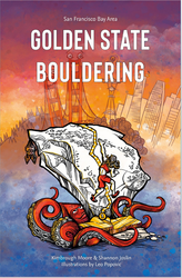
Author(s): Kimbrough Moore, Shannon Joslin, Leo Popovic
Date: 2022
ISBN: 9798218007959
- Edgewalker Entertainment:
- A comprehensive guide to the greater Bay Area of California, Golden State Bouldering provides readers with info on the outdoor bouldering around San Francisco, Sacramento, Santa Rosa and Santa Cruz.
- Describes 1,600 boulder problems with hundreds of color photos, maps, GPS coordinates and hand-drawn illustrations
ⓘ
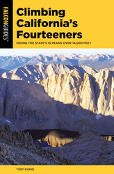
Author(s): Toby Evans
Date: 2021
ISBN: 9781493045464
- FalconGuides:
- Hiking the State's 15 Peaks Over 14,000 Feet. Developed for every skill level, the FalconGuides Climbing California's Fourteeners lays out plans and logistics for making your climb a positive experience—no matter how many summits you've reached.
- California's 15 peaks over 14,000 ft. are becoming more popular, and this book provides essential information for taking them on
- Each mountain is broken down based on the technical skills needed so you know what to expect
- Details for each climb include a list of recommended equipment, how to prepare for rapidly changing weather and trail conditions, and a general timeframe needed to summit
ⓘ
Accommodations nearby more Hide
Share this
Nearby Icons
| 5.4 III | ★★ North Ridge |
Fri 2 Jun
Check out what is happening in Lone Pine Peak.
Get a detailed insight with a timeline showing
- Ticks by climbers like you
- Discussions of the community
- Updates to the index by our users
- and many more things.
Login to see the timeline!