Seasonality
Summary
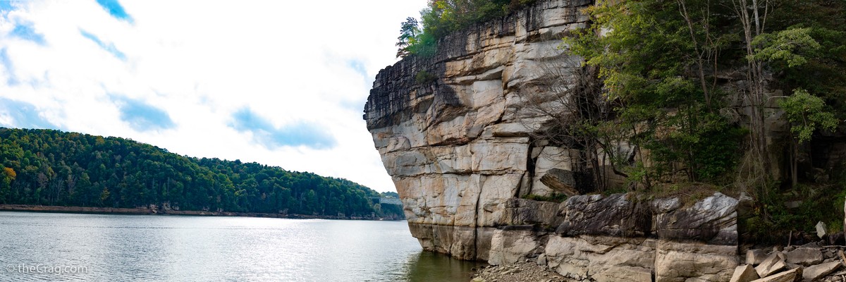
This climbing area includes the crags at Summersville Lake and Gauley River. Loads of climbing, Deep Water Soloing and fun!
Description
The Gauley River is the third river in this area (on top of the New River and the Meadow River) forming lots of climbable cliffs along its way. Summersville Dam creates Summersville Lake where many of the cliffs rise out of the lake depending on the water level.
Access issues
With the exception of the Main Area (not Pirate Cove!) all crags at Summersville Lake are impacted by the water level. During the summer months till about October the level is too high to access many other areas (unless for DWS). Check the website of the Army Corps of Engineers for the current water level. Once it is below 1600 feet, most areas are accessible for climbing. The crags below the dam are obviously not impacted by the lake water level.
Approach
Drive north on highway 19 towards Summersville. to reach the dam and teh lower Gauley River crags turn left on highway 129. To reach the lake areas continue on highway 19. Whippoorwill is just before the bridge on your left, the Main Area right after the bridge and Long Point is reached via the Airport Road on your left.
Where to stay
There is free camping below the dam. Drive over the dam on highway 129 and take a left and drive down just after it.
Plan your Trip
Hello!
First time here?
theCrag.com is a free guide for rock climbing areas all over the world, collaboratively edited by keen rock climbers, boulderers and other nice folks.You can log all your routes, connect and chat with other climbers and much more...» go exploring, » learn more or » ask us a question


Selected Guidebooks more Hide
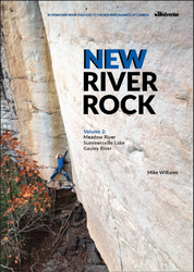
Author(s): Mike Williams
Date: 2021
ISBN: 978193839402
- Wolverine
- Volume 2 of New River Rock documents the climbing north of the main gorge of the New, with over 1,400 routes on the crags along the Meadow and Gauley rivers and surrounding Summersville Lake.
- Details 1,400 routes
- Includes a detailed history of the area and camping and visitor info
- Color photography throughout
- Every book purchase supports the New River Gorge Climber's Alliance
ⓘ
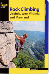
Author(s): Eric J. Horst
Date: 2013
- FalconGuides:
- The revised and updated edition of Rock Climbing Virginia, West Virginia and Maryland describes more than 1200 routes at 23 different areas including Seneca Rocks and the New River Gorge.
ⓘ
Accommodations nearby more Hide
Share this
Nearby Icons
| 5.10a | ★★ Orange Oswald | ||
| 5.10c | ★★★ Unnamed | ||
| 5.11d | ★★★ Mutiny |
Photos Browse all photos

Henry Mueller at Summersville Lake - No, I did not end up getting much further.
Wed 10 May
Check out what is happening in Summersville Lake.
Get a detailed insight with a timeline showing
- Ticks by climbers like you
- Discussions of the community
- Updates to the index by our users
- and many more things.
Login to see the timeline!